Table des matières:
Introduction
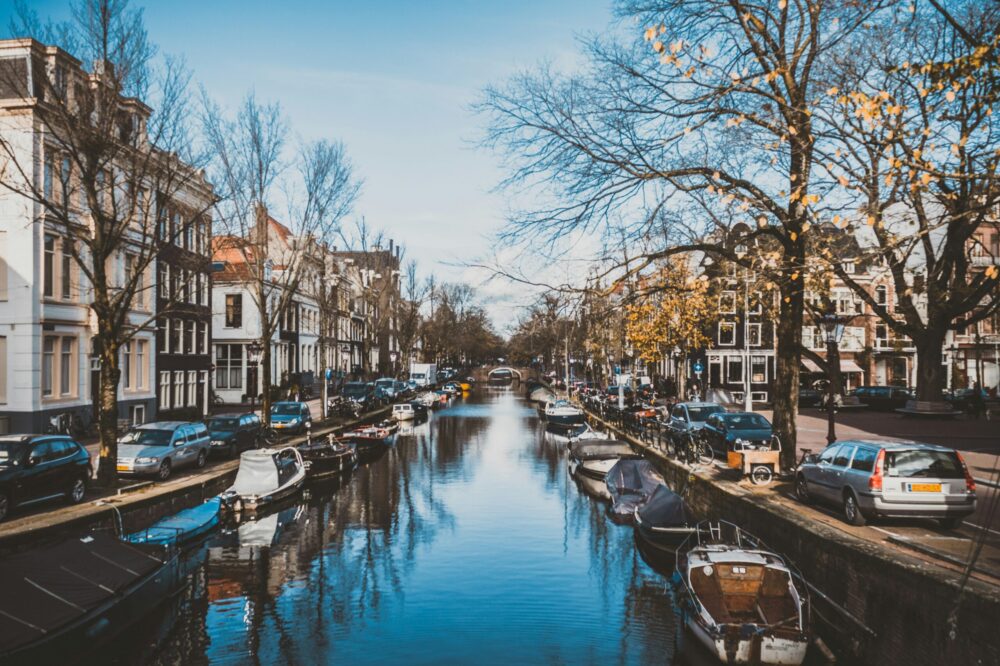
Amsterdam is a city of canals, bicycles, and trams—a beautiful but sometimes confusing place to get around. Whether you’re a tourist or a new resident, having the right navigation apps can make all the difference. In this article, we answer the question: What are the best apps for navigating Amsterdam? We cover public transport, cycling, walking, and even parking. These apps will help you save time, avoid getting lost, and explore the city like a local.
Why You Need Navigation Apps in Amsterdam
Amsterdam’s layout is not a simple grid. With its crescent-shaped canals and many one-way streets, GPS alone isn’t always enough. Plus, public transport options include trams, buses, metros, and ferries. To make the most of your journey, you need apps that integrate real-time data, offline maps, and multimodal routes.
Top Apps for Public Transport
1. 9292
9292 is the go-to app for all public transport in the Netherlands. It covers trams, buses, metros, and trains across the country. The app provides real-time departures, journey planning, and disruptions. You can also buy tickets directly through the app for most operators.
- Real-time updates
- Multi-modal planning (including walking and cycling legs)
- Offline access to timetables (premium)
- Available in English
2. GVB (Gemeentevervoerbedrijf)
GVB is the official app for Amsterdam’s municipal transport. It covers trams, buses, and metros within the city. The app shows live departure times, route maps, and service alerts. You can also buy digital tickets and check your travel history.
- Direct ticket purchase
- Live tracking of vehicles
- Simple interface
3. NS Reisplanner
For train travel between cities, NS Reisplanner is essential. It covers all Dutch trains, including high-speed and intercity services. The app provides real-time platform info, delays, and route alternatives. It also integrates with 9292 for first/last mile.
- Real-time train info
- Platform numbers
- Offline timetables
Best Apps for Cycling in Amsterdam
1. Google Maps
While Google Maps is universal, its cycling directions are particularly good in Amsterdam. It shows dedicated bike lanes, bike-friendly roads, and elevation changes. The app also estimates travel time accurately and provides turn-by-turn voice navigation.
- Bike lane detection
- Voice navigation
- Real-time traffic for bikes
2. Citymapper
Citymapper is a favorite among locals. It combines public transit, cycling, walking, and even ride-hailing. The cycling mode shows quiet streets and bike-friendly routes. It also integrates with bike-sharing apps like Donkey Republic and OV-fiets.
- Multimodal routes
- Bike-sharing integration
- Live departure times
3. Komoot
For recreational cycling, Komoot is excellent. It offers detailed maps with surface types, elevation profiles, and points of interest. You can plan routes offline and share them with friends. It’s perfect for exploring Amsterdam’s outskirts and countryside.
- Offline maps
- Turn-by-turn voice
- Community recommendations
Walking and Exploring Apps
1. Maps.me
Maps.me is an offline-first map app. You download entire city maps and use GPS without data. It includes walking paths, public transport stops, and thousands of points of interest. Ideal for tourists without a local SIM.
- Fully offline
- Walking and hiking trails
- Bookmarks and pins
2. Triposo
Triposo is a travel guide app that includes curated walking tours. It offers itineraries for Amsterdam’s neighborhoods, with descriptions and photos. The app works offline and suggests restaurants, museums, and hidden gems.
- Curated walking tours
- Offline city guides
- Personalized recommendations
Parking and Driving Apps
Driving in Amsterdam is not recommended, but if you must, these apps help.
1. Parkmobile
Parkmobile lets you pay for parking via your phone. It covers most parking zones in Amsterdam. You can extend your parking remotely and receive reminders when time is almost up. It also shows parking rates and availability.
- Contactless payment
- Remote extension
- Zone maps
2. Flitsmeister
Flitsmeister is a navigation app with traffic alerts, speed cameras, and road hazards. It’s popular among Dutch drivers. It also shows real-time traffic jams and alternative routes.
- Speed camera warnings
- Traffic jam alerts
- Voice navigation
Multi-Modal Trip Planners
1. Google Maps
Google Maps remains a strong all-rounder. It combines driving, public transit, cycling, and walking. In Amsterdam, it includes real-time tram and bus delays. The app also shows bike-sharing stations and taxi prices.
2. Citymapper
Citymapper excels at comparing different modes. It shows you the fastest, cheapest, and most eco-friendly options. It also provides step-by-step walking directions from the stop to your destination.
Tips for Using Navigation Apps in Amsterdam
- Download offline maps before you arrive to avoid data charges.
- Use 9292 or GVB for public transport; Google Maps for cycling.
- Always check for disruptions, especially on trams and metros.
- For cycling, prefer bike lanes over roads; apps like Citymapper highlight them.
- If driving, use Parkmobile for parking and Flitsmeister for safety.
Conclusion
Navigating Amsterdam is easy with the right tools. From 9292 for public transport to Citymapper for cycling, these apps cover every mode of travel. Whether you’re a tourist or a resident, having these apps on your phone will save you time and stress. So, the next time someone asks, “What are the best apps for navigating Amsterdam?”, you’ll have a comprehensive answer. Download a few before your trip and explore the city with confidence.
Photo by Wendel Hilário on Unsplash


I’m planning a trip to Amsterdam and was wondering if Google Maps is reliable for public transit there, or should I use GVB instead?
Google Maps works well for public transit in Amsterdam, but GVB provides more accurate real-time data for trams, buses, and metros within the city. For multi-modal trips, 9292 is a great all-in-one option.
Do any of these apps work offline? I won’t have a local SIM card.
Yes, Maps.me is fully offline, and 9292 offers offline timetables with a premium subscription. Google Maps also allows you to download offline areas in advance.
I’m a cyclist and want to avoid busy roads. Which app is best for quiet bike routes in Amsterdam?
Citymapper is excellent for quiet bike routes, as it favors bike-friendly streets. Komoot also offers detailed maps with surface types and elevation, great for recreational cycling.
Is there an app that can help me find and pay for parking in Amsterdam?
Parkmobile is the go-to app for paying parking via phone. It covers most zones and allows remote extension. Flitsmeister is also useful for traffic alerts and speed cameras if you’re driving.
I’m a tourist and want a walking tour app that works offline. Any recommendations?
Triposo offers curated walking tours with offline access, perfect for exploring Amsterdam’s neighborhoods. Maps.me is also great for offline walking navigation with points of interest.
Which app is best for real-time train info between cities like Amsterdam to The Hague?
NS Reisplanner is the best for real-time train info, including platform numbers and delays. It also integrates with 9292 for first/last mile options.