If you’re based in Toulouse or visiting the Pink City, you don’t have to travel far to find outstanding hiking. Within an hour or two, you can be walking through medieval vineyards, scaling limestone cliffs in the Tarn gorges, or tackling high-altitude trails in the Pyrenees. This guide covers the best hiking trails near Toulouse for every fitness level, including practical details like distance, difficulty, and how to get there.
Table des matières:
Why the Toulouse Region Is a Hiker’s Paradise
Located between the Pyrenees mountains and the Massif Central, Toulouse offers incredible geographic diversity. The Garonne River cuts through the city, while the surrounding departments—Haute-Garonne, Tarn, Ariège, and Aude—provide everything from gentle riverside walks to strenuous mountain ascents. The climate is mild, with hiking season stretching from March to November. Many trails are accessible by train or bus, making day trips easy without a car.
Top 7 Hiking Trails Near Toulouse
Here are the best hiking trails near Toulouse, selected for scenery, accessibility, and variety. Each entry includes distance, difficulty, elevation gain, and a key highlight.
| Trail Name | Distance | Difficulty | Elevation Gain | Highlight |
|---|---|---|---|---|
| Circuit du Pic de Montaigut | 12 km | Moderate | 450 m | Panoramic view of the Pyrenees |
| Gorges du Tarn – Les Vignes to La Malène | 14 km | Easy | 200 m | Limestone cliffs and river views |
| Sentier Cathare – Château de Quéribus | 8 km | Moderate | 350 m | Medieval castle ruins |
| Lac de la Thésauque | 6 km | Easy | 50 m | Lake loop, family-friendly |
| Pic du Midi de Bigorre – Summit Hike | 5 km | Hard | 600 m | 2877 m summit with observatory |
| Forêt de Buzet – Boucle de la Fontaine | 9 km | Easy | 100 m | Shaded forest trail, waterfalls |
| Randonnée du Lac d’Oô | 12 km | Moderate | 550 m | Turquoise lake and waterfall |
1. Circuit du Pic de Montaigut – Best Views of the Pyrenees
This loop near Revel offers one of the best vantage points in the region. Starting from the village of Saint-Félix-Lauragais, the trail climbs gently through oak forests and open meadows. At the top, a 360-degree panorama stretches from the Pyrenees to the Massif Central. The path is well-marked and suitable for regular hikers. Allow 4 hours. Tip: Go on a clear day for unobstructed views.
2. Gorges du Tarn – Les Vignes to La Malène
One of the most scenic easy hikes near Toulouse, this flat trail follows the Tarn River between towering limestone cliffs. It’s part of the GR de Pays Tour du Tarn. The distance is 14 km one way, but you can turn around at any point. There are several picnic spots along the river. Mistakes to avoid: Don’t underestimate the sun—carry plenty of water, especially in summer.
3. Sentier Cathare – Château de Quéribus
History buffs will love this hike to the Cathar castle of Quéribus. The trail starts from the village of Cucugnan and climbs through rocky terrain to the fortress. The castle itself is a highlight, with its intact keep and sweeping views. The 8 km round trip takes about 3 hours. Pro tip: Combine with a visit to the nearby Château de Peyrepertuse for a full day of Cathar history.
4. Lac de la Thésauque – Family-Friendly Loop
Just 30 minutes south of Toulouse, this artificial lake offers an easy 6 km loop trail. The path is flat, wide, and suitable for strollers and bikes. There are benches, a playground, and a beach area. It’s perfect for a short afternoon walk. Best for: Families with young children or beginners looking for a gentle outing.
5. Pic du Midi de Bigorre – Summit Hike
For experienced hikers, the ascent to Pic du Midi is a bucket-list trail. Start from the La Mongie ski resort and follow the GR10. The trail is steep and rocky, with exposed sections. The reward is the summit at 2877 m, home to a scientific observatory and a panoramic terrace. This hike requires good fitness and proper gear. Safety note: Check weather conditions—lightning is common in summer afternoons.
6. Forêt de Buzet – Boucle de la Fontaine
This 9 km loop in the Forêt de Buzet is a hidden gem. The trail winds through dense beech and pine forests, crossing small streams and passing a waterfall. It’s mostly flat with a few gentle inclines. The forest provides excellent shade, making it a good option for hot days. Wildlife: Keep an eye out for deer and wild boar.
7. Randonnée du Lac d’Oô – Turquoise Alpine Lake
Located in the Pyrenees National Park, this trail leads to the stunning Lac d’Oô, a glacial lake with a cascading waterfall. The path is well-maintained but moderately steep. The lake sits at 1500 m, so the air is crisp. Allow 5 hours round trip. Best time: Late June to September, when the snow has melted and the wildflowers are in bloom.
How to Choose the Right Trail
With so many options, picking the right hike depends on your fitness, time, and interests. Here’s a quick checklist to help you decide:
- Time available: Under 2 hours? Go for Lac de la Thésauque or Forêt de Buzet. Half day? Pic de Montaigut or Gorges du Tarn. Full day? Lac d’Oô or Pic du Midi.
- Fitness level: Easy (no elevation gain) – Lac de la Thésauque. Moderate – Circuit du Pic de Montaigut. Hard – Pic du Midi.
- Interest: History – Sentier Cathare. Views – Pic de Montaigut. Water features – Lac d’Oô. Family – Lac de la Thésauque.
- Season: Lower trails (under 1500 m) are accessible year-round. High Pyrenees trails are best from June to October.
Essential Gear and Safety Tips
Before heading out, make sure you have the right equipment. The weather in this region can change quickly, especially in the mountains.
- Footwear: Sturdy hiking boots with good grip for rocky trails. For easy lakeside walks, trail runners are fine.
- Navigation: Download the trail map offline. Apps like AllTrails or IGN Rando are reliable. Many trails are marked with yellow or red-and-white GR markers.
- Sun protection: Hat, sunscreen, and sunglasses – the southern sun is strong even in spring.
- Water and snacks: Carry at least 1.5 liters per person. Natural water sources are rare on dry trails.
- Layers: A waterproof jacket and fleece are essential, even in summer, as temperatures drop at altitude.
Getting to the Trails from Toulouse
Most trails are within a 1.5-hour drive from Toulouse. If you don’t have a car, public transport works for some:
- Lac de la Thésauque: Bus from Toulouse to Nailloux, then a 2 km walk.
- Gorges du Tarn: Train to Millau, then a local bus to Les Vignes (limited service).
- Pic du Midi: Train to Tarbes, then bus to La Mongie (only in summer).
- Lac d’Oô: Train to Bagnères-de-Luchon, then a taxi or shuttle (seasonal).
For the others, a car is recommended. Parking is usually free at trailheads.
Best Time of Year for Hiking Near Toulouse
Spring (April to June) offers mild temperatures and wildflowers. Autumn (September to November) brings crisp air and fewer crowds. Summer (July to August) can be very hot on low-elevation trails, so start early. Winter hiking is possible on lower routes but avoid high mountains due to snow and ice.
Frequently Asked Questions
Are there any easy hiking trails near Toulouse for beginners?
Yes, Lac de la Thésauque (6 km, flat) and Forêt de Buzet (9 km, gentle) are excellent for beginners. Both have clear markings and minimal elevation gain.
What is the closest mountain hike to Toulouse?
The Pic de Montaigut (circuit) is about 50 km southeast of Toulouse, a 45-minute drive. It’s the closest hike with significant elevation and panoramic views.
Can I hike in the Pyrenees from Toulouse in one day?
Yes, many trails in the Pyrenees are within a 1.5-2 hour drive. Lac d’Oô and Pic du Midi are popular day trips. Start early to maximize time on the trail.
What should I pack for a day hike near Toulouse?
Essentials include water, snacks, sun protection, a map or GPS, a first-aid kit, and layers. For mountain hikes, add a headlamp and extra food in case of delays.
Are dogs allowed on hiking trails near Toulouse?
Most trails allow dogs on a leash. However, in the Pyrenees National Park, dogs are prohibited (except on designated paths). Check local regulations before bringing your pet.
Is it safe to hike alone near Toulouse?
Yes, but take precautions. Stick to well-marked trails, inform someone of your route, and carry a charged phone. Cell reception is good on most lower trails but spotty in remote mountain areas.
Whether you’re a seasoned trekker or a casual walker, the hiking trails near Toulouse offer something for everyone. From the serene Lac de la Thésauque to the challenging Pic du Midi, each route reveals a different facet of this beautiful corner of France. Lace up your boots, grab a map, and discover why the best hiking trails near Toulouse are waiting just beyond the city limits.
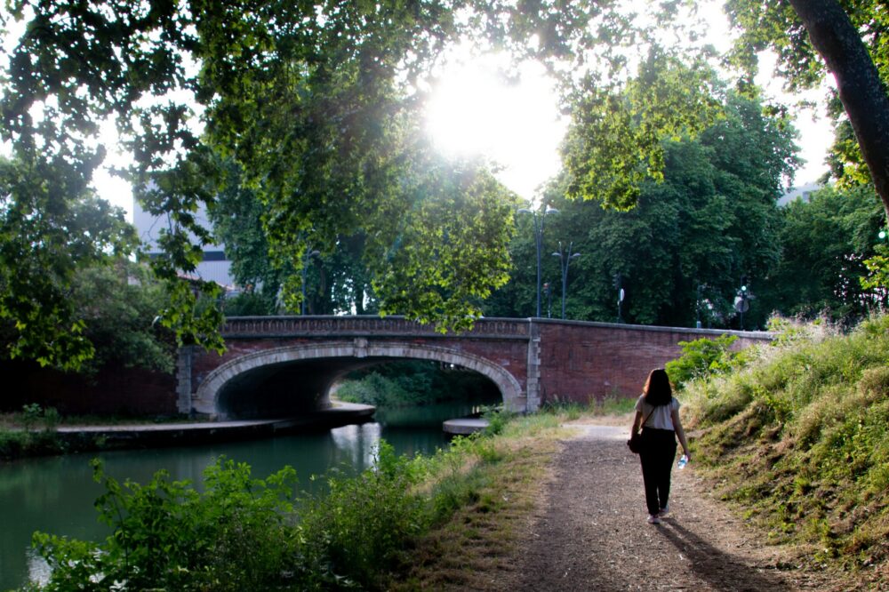
Photo by Paul Melki on Unsplash


This is really helpful! I’m planning a weekend trip from Toulouse and don’t have a car. Which of these trails are accessible by train or bus?
Great question! Several trails are reachable by public transport. The Gorges du Tarn hike can be accessed by bus from Millau station (train from Toulouse). For Lac de la Thésauque, take a bus from Toulouse to Nailloux, then a short walk. Pic du Midi is accessible by train to La Mongie then cable car. Always check current schedules on the regional transport website.
I’m a beginner hiker and looking for something easy with nice views. Would you recommend Lac de la Thésauque or Forêt de Buzet?
Both are excellent for beginners! Lac de la Thésauque is a flat 6 km loop around a lake—perfect for a leisurely stroll with picnic spots. Forêt de Buzet is slightly longer at 9 km but has gentle elevation and shaded paths with small waterfalls. If you prefer open views, go with the lake; if you like forest scenery, choose Buzet.
Is the Circuit du Pic de Montaigut well-marked? I’ve gotten lost on trails before.
Yes, the Circuit du Pic de Montaigut is well-marked with yellow and red signs (GR de Pays). The path is clear, but it’s always wise to download a GPX track or carry a map. Starting from Saint-Félix-Lauragais, follow the signs for ‘Pic de Montaigut’. The loop is straightforward, but be cautious at junctions.
I’m interested in the Sentier Cathare to Château de Quéribus. How difficult is the climb to the castle?
The climb to Château de Quéribus is moderate, with about 350 m elevation gain over 8 km. The path is rocky in places and can be steep near the castle. It’s doable for regular hikers but requires good footwear. The views from the top are worth it! Allow 3-4 hours round trip.
Thanks for the tip about carrying water on the Gorges du Tarn hike. Are there any water refill points along the trail?
You’re welcome! Along the Gorges du Tarn trail, there are no guaranteed water refill points except at the start in Les Vignes and at La Malène. There are a few natural springs, but they may dry up in summer. Best to carry at least 1.5 liters per person and refill only at known sources.
I’ve done the Pic du Midi summit hike and it’s stunning, but definitely hard. I’d add that you need to be acclimated to altitude if you’re not used to it.
Absolutely, good point! The Pic du Midi hike starts at La Mongie (1800 m) and climbs to 2877 m, so altitude can affect some people. Take it slow, stay hydrated, and consider spending a night at lower elevation before the hike. Also, weather can change rapidly—check the forecast and bring layers.